BIMPLIFY has it covered, with incredibly comprehensive GIS strategies and execution. Assess, analyze and plot your geographical and geospatial data with high levels of accuracy through our integrated GIS services that cover both public and private facilities and infrastructure. At Gsource, we use the latest in research, technology and innovation to create and deliver highly specialized maps and databases. Here's what our GIS services cover.
Our first-class services:
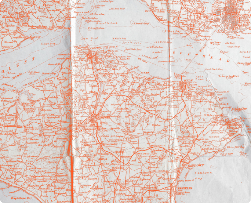
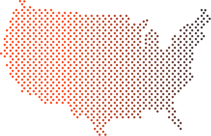
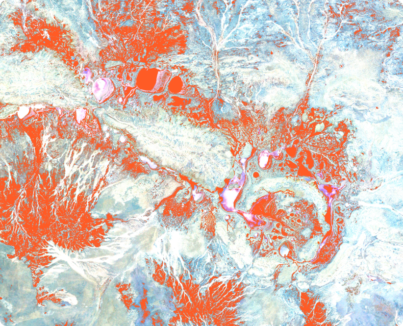
Accurate analysis meets attention to detail. Bimplifycreates highly detailed and intricate cadastral mapsfrom hard copies and raw data, so every inch of yourspace is accounted for. Our GIS services covers Satellite Image Processing, Orthophoto Conversion, LIDAR Point Cloud Mapping, Digitization & Visualization, Photogrammetry-Creating 3D Models, Cartography, Mapping for Utilities, Land Parcels & Urban Infrastructure, Orthomosaicing and Image Processing.
Leverage our technological knowhow to create GIS applications across web and mobile platforms. Develop, manage and customize your applications, backed by a highly accomplished team of engineers, developers and specialists. Gsource helps you identify, automate and build intelligent solutions for time consuming and redundant tasks through our versatile technology division.
Do what you do the BEST, Outsource to us the rest!
Contact Us